About the author:
Elizabeth Eisenstein is an artist currently based in Los Angeles, CA. Her work centers around the photographic image, both in the traditional sense of the term (film and digital photographic stills) as well as appropriated digital imagery found primarily online. She graduated in 2012 from New York University, where she received her Bachelor of Fine Arts degree in Studio Art, with concentrations in photography and sculpture. She is also devoted to learning a wide array of traditional craft practices, including but not limited to ceramics, weaving, and other textile arts.
Statement:
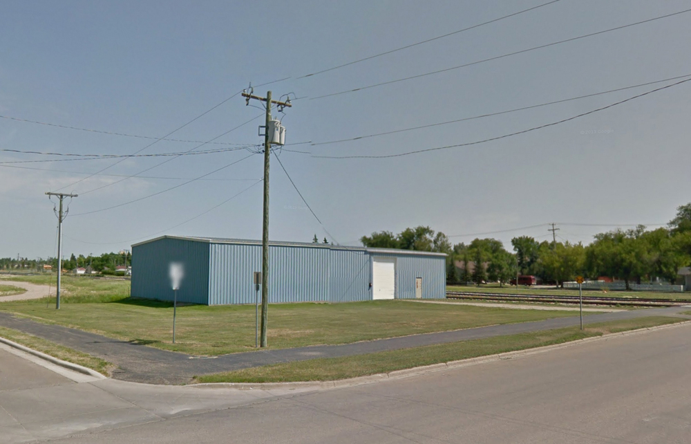
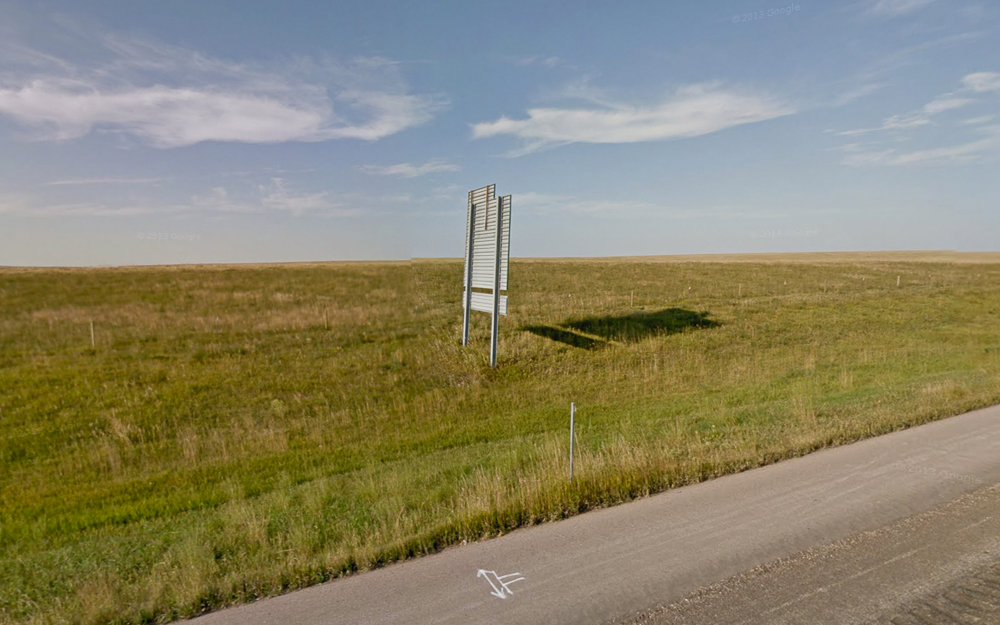
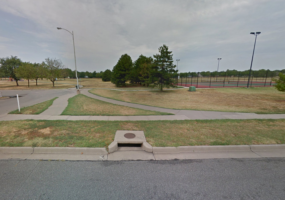
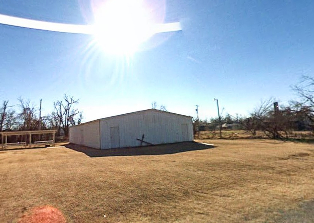
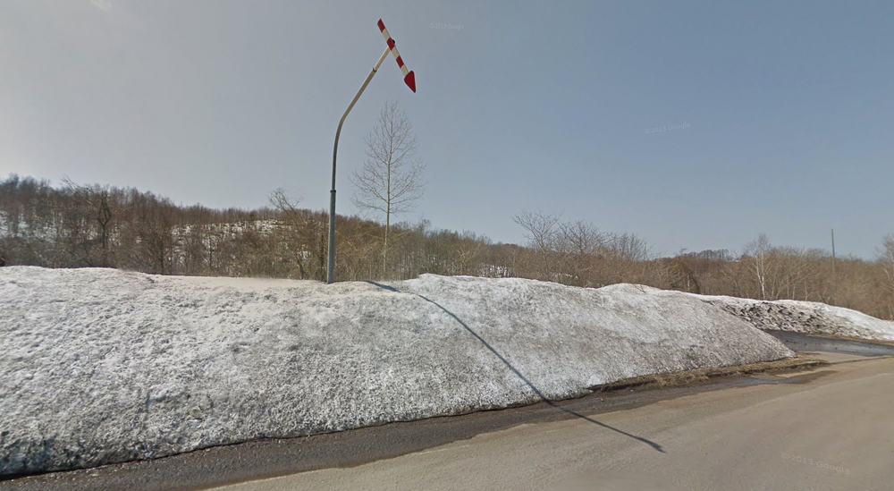
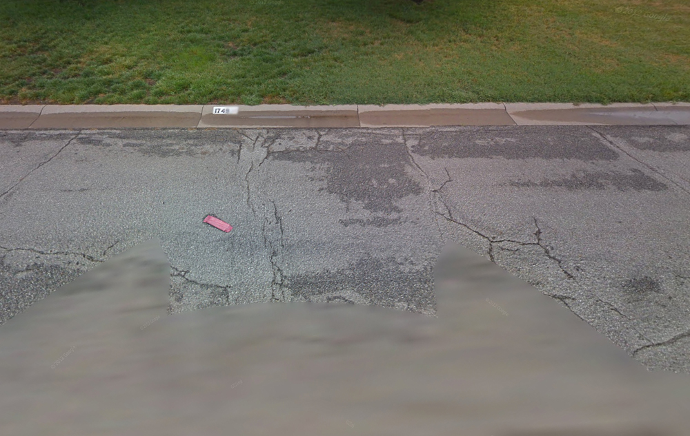
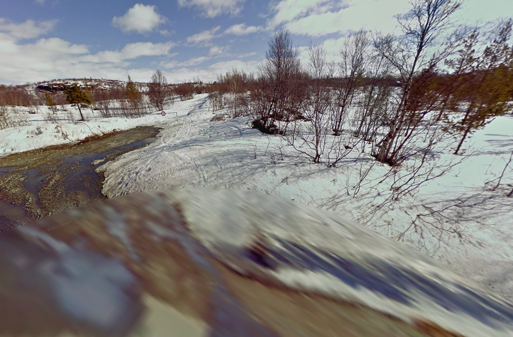
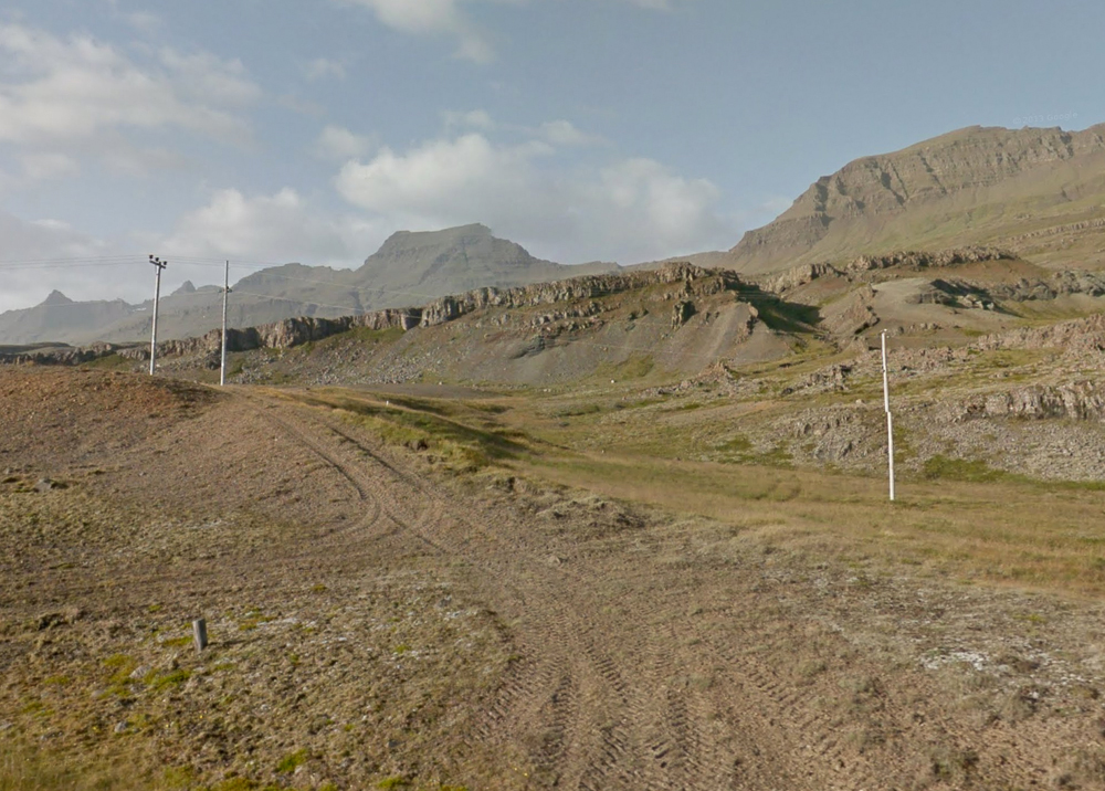
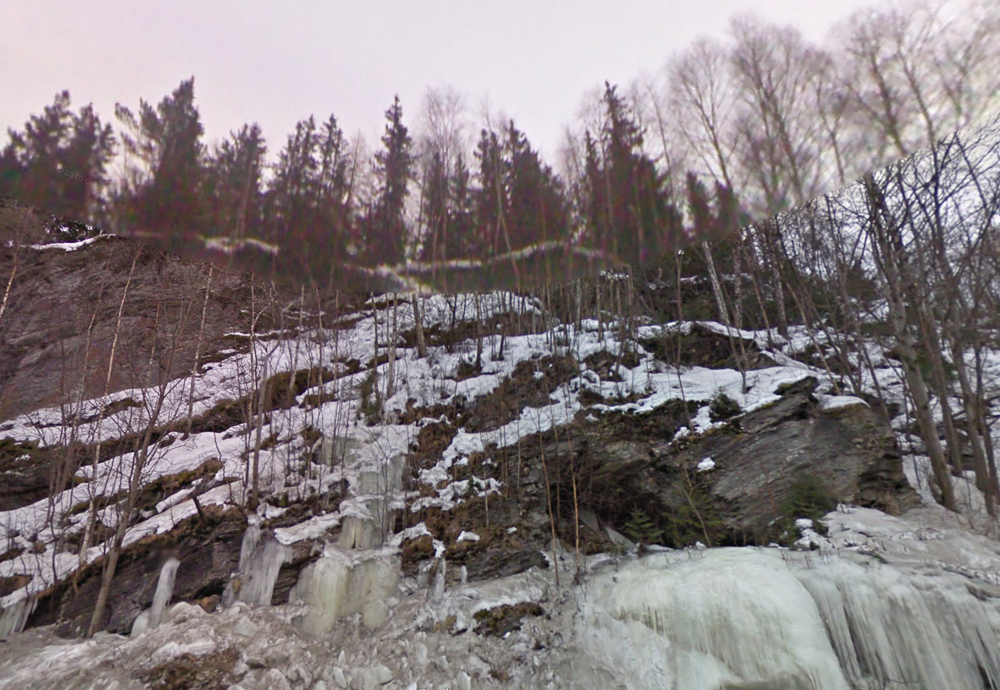
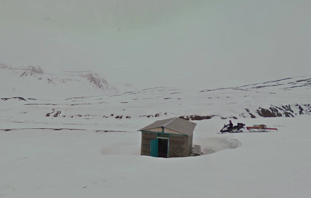
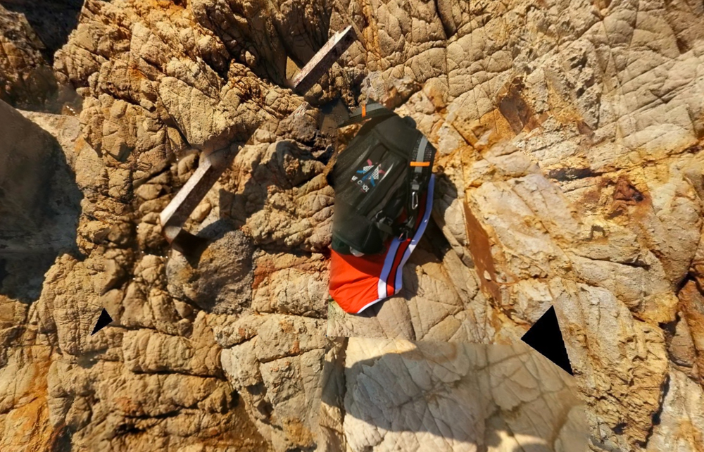
This series explores the nature of landscape photography through imagery culled from Google Street View’s extensive visual database. Landscape photography, by definition, is a passive form of photography, one that relies on an uncontrollable source of beauty: the earth. Landscape photographers unflinchingly appropriate this beauty as content for their art, and in doing so they claim authorship of a force that exists independently from their gaze. Incidentally, Google’s monumental visual mapping project, Street View, has captured many images that share formal and compositional similarities to landscape photographs produced by artists. Since landscape photography is a diluted form of appropriation art, the main difference between these two sources of imagery is artistic intent. I chose to not only embrace this passive approach to photography, but to take it one step further by shedding my camera altogether, in favor of decontextualizing and reframing photographic compositions initially captured by Google. Instead of applying an artistic eye to the physical outside world, I have chosen Google’s seamless visual map as my photographic terrain, and curation as my method of creation.
This series explores a refined selection of images found within this virtual reality, specifically those that function as “fillers”–images used primarily to maintain a sense of visual continuity throughout the interactive map. Without these images, the Street View interface becomes essentially a guide book, highlighting only specified destinations and addresses. It is the “filler” image, photographed blindly and by chance, that not only stitches together this digital world, but exposes a more humble reality. Overlooked by most users seeking specific locations and points of interest, these photographs reveal a beauty in landscapes we have unconsciously chosen to ignore.